Home / News / Establishing participatory community maps for communities in the planned (...)
Establishing participatory community maps for communities in the planned Pinselli-Soyah-Sabouyah National Park
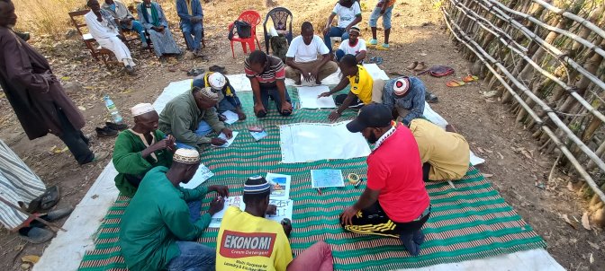
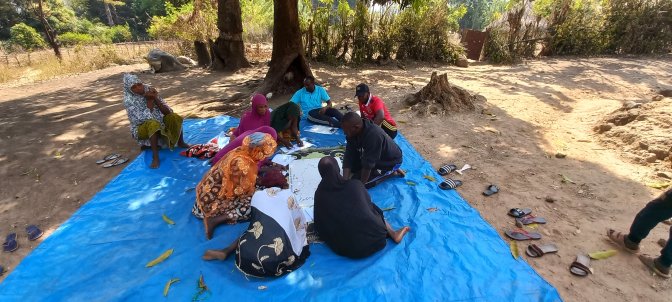
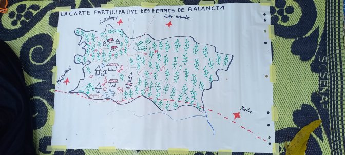
In line with creating the Pinselli-Soyah-Sabouyah National Park in Guinea, the Wild Chimpanzee Foundation (WCF) in January and February organised a field mission to three villages: Balancia, Megnekhouré and Yalla, located in the future park. The visits produced a detailed participatory map showing the village territories’ boundaries, use and occupation in the different localities.
At the end of the mission, WCF established the history and boundaries of the territories of the three villages. Meanwhile, the local communities made 6 paper maps (3 for men and 3 for women) with 3 satellite image maps. In addition, WCF recorded 3 satellite image maps and the geolocation of landscape units and their uses.
Finally, to conclude the 20-day field mission, WCF organised information sessions for the rest of the community in the three villages, which were attended by 207 participants (including 98 women).
Developing and producing satellite maps within these communities is part of the PAPFor programme financed by the European Union to support the creation of the future Pinselli-Soyah-Sabouyah National Park within the Outamba-Kilimi-Kuru Hills-Pinselli-Soyah (OKKPS) transboundary landscape conservation project between Guinea and Sierra Leone.


