Home / News / PAPFor launches Land Use Planning in the Glaro District in Liberia
PAPFor launches Land Use Planning in the Glaro District in Liberia
This Friday, 24 April, marks an important milestone in PAPFor’s support to rural communities bordering Grebo-Krahn National Park in Liberia in the Taï-Grebo-Sapo landscape.
Glaro District is a remote rural area in eastern Liberia near the Ivorian border. The district borders the Grebo-Krahn National Park and economic activities are diverse but largely based on agriculture and natural resource extraction (fishing and hunting, wood gathering, sawmilling), plus small-scale artisanal mining operations. However, there is a lack of coordination regarding these activities and conflicts over land-use are becoming more and more frequent.
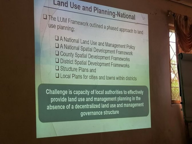
PAPFor is thus supporting local governments and communities with land planning that:
- reduces conflict,
- achieves better results,
- is sustainable and compatible with the National Park’s conservation objectives.
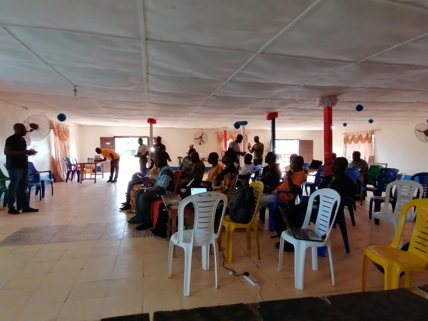
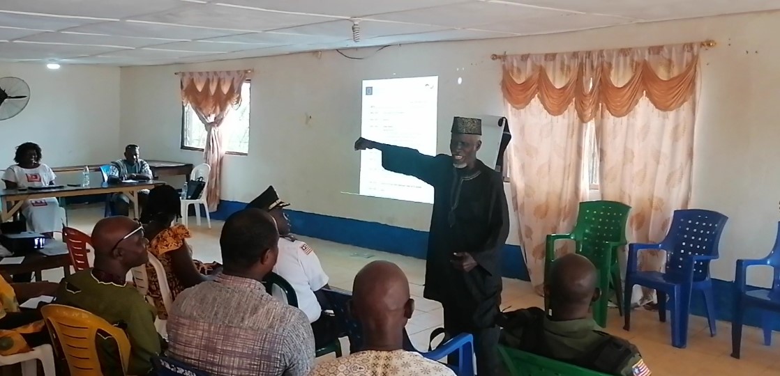
A workshop to launch these activities took place on Friday 24 April in the town of Fishtown, attended by local area as well as customary authorities, civil society and community representatives. Bertille Mayen, Director of the PAPFor Landscape Programme, and PAPFor Regional Coordinator Marc Languy also took part in the workshop.
In the following days and weeks, GIZ/PAPFor teams will travel around local villages to conduct interviews and participatory mapping to reveal the true situation on the ground, along with the challenges being faced and what people wish to see.