Home / News / PAPFor partner completes conservation planning in Sierra Leone’s Gola (...)
PAPFor partner completes conservation planning in Sierra Leone’s Gola Forest
After 3 years of consultations, the Conservation Society of Sierra Leone (CSSL) successfully completed the land-use planning and mapping of all community forests around Gola Rainforest National Park in Sierra Leone in August 2023, through its work with the EU-funded Programme for the Preservation of Forest Ecosystems in West Africa (PAPFor).
Land-use planning is a systematic and iterative procedure implemented to create an enabling environment for the sustainable development of land resources to meet the needs and demands of inhabitants. It assesses the physical, socio-economic, institutional and legal potential and constraints to optimal and sustainable use of land resources and empowers people to decide how to allocate those resources. To this end, CSSL has set up chiefdom / community forestry and land-use planning committees in communities around the Gola Rainforest National Park and Tiwai Island to manage and protect their natural resources.
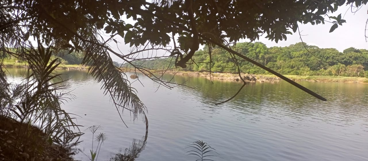
The 35 000-hectare Gola Rainforest is one of West Africa’s last remaining biodiversity reserves and plays a critical role in regulating the global climate. The landscape directly sustains the lives of millions of people in southern Sierra Leone, and thousands of high conservation value species, including the white-necked picathartes, pygmy hippo, Jentink’s duiker and western chimpanzee. In Sierra Leone, the landscape spans Kenema, Kailahun and Pujehun Districts and is a carbon store of global significance. However, drivers of deforestation including farming, logging, mining and associated activities have increased remarkably in recent years.
Considering these threats to the ecosystem and land management of the Gola Rainforest National Park, CSSL in close collaboration with the Ministry of Environment and Climate Change of Sierra Leone and the Gola Rainforest Conservation - Limited by Guarantee (GRC-LG) successfully developed and implemented the community forests land-use planning and mapping activities.
“Unregulated demand for land poses clear risks for both our communities and our forests in this region. Clarifying and securing the boundaries of conservation zones, while securing the right to manage the ecosystem, is a generally accepted feature of good natural resource governance that invariably protects the environment. As a community, we are very grateful to CSSL and the EU for this initiative,” said Mohamed Koroma, a resident of Njala community in Gaura chiefdom, expressing his satisfaction following the completion of the land-use planning and mapping exercise.
In designing strategies to help alleviate threats to the ecosystem and mapping for land management of the landscape, CSSL conducted a series of workshops and qualitative interviews with the communities in each locality. The community participatory mapping involved traditional authorities and indigenous groups, who are the leading managers and beneficiaries of the land resources. Care was also taken to include different socio-professional stakeholders in the mapping workshops.
“We were involved throughout the process of land-use planning. We are very happy that our forest will now be used to improve our livelihoods. We have limited all the practices that destroy the forest and declared our forest conservation zones,” Abdul Borbor Musa, Chair of the Gaura Chiefdom’s Community Forest Management Committee, declared.
Targeting 7 communities around Gola Rainforest National Park, CSSL has gained approval of dispute-free boundaries of the reserves. As a result, a detailed and geo-referenced land-use map of the villages, land and territories to facilitate the implementation of land-use management plans has been developed.
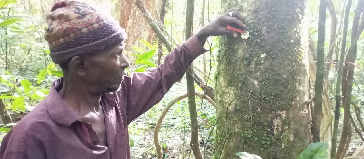
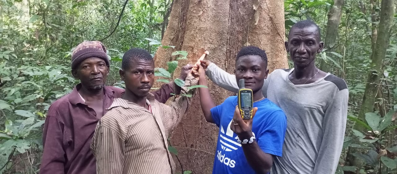
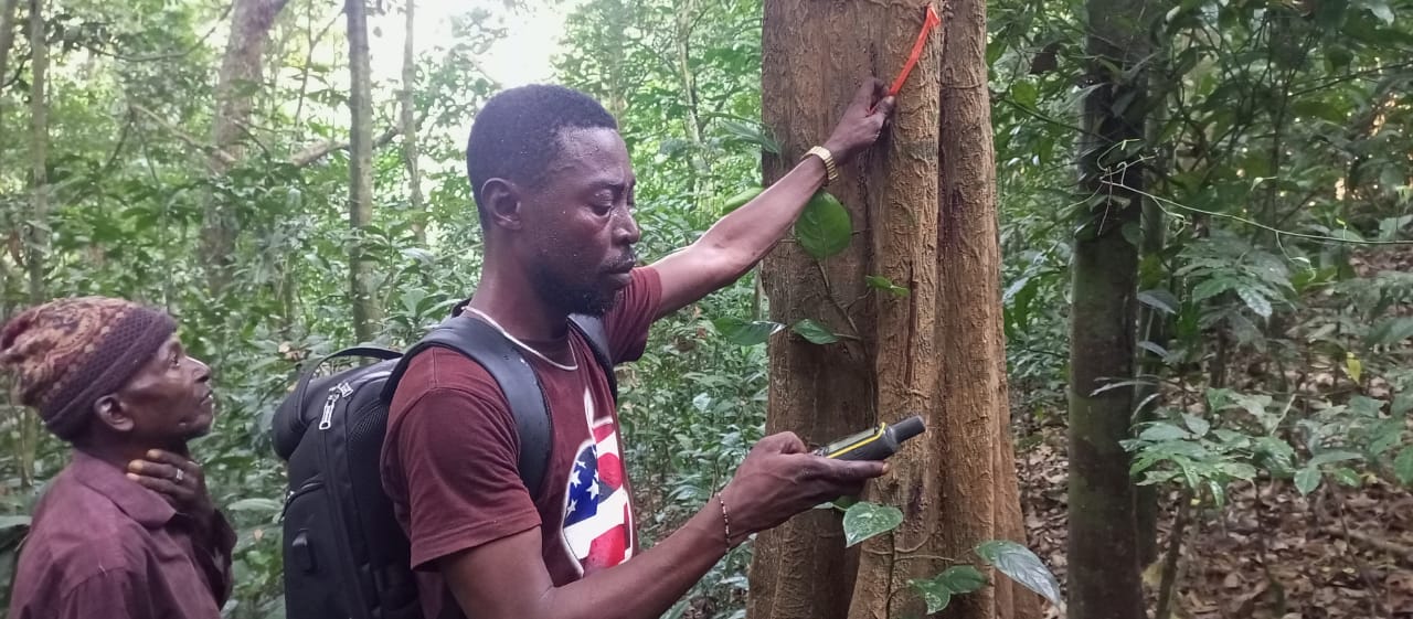
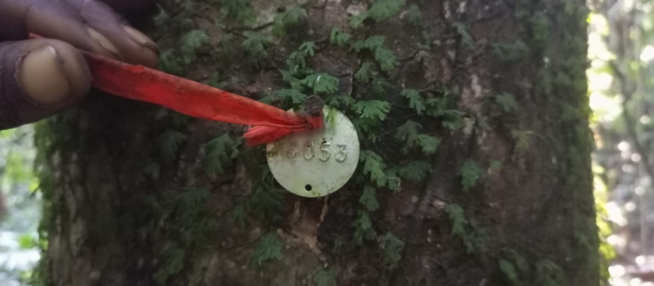
Local communities take part in an exercise in the Mahungbe Community Forest, Tunkia Chiefdom, Kenema District.